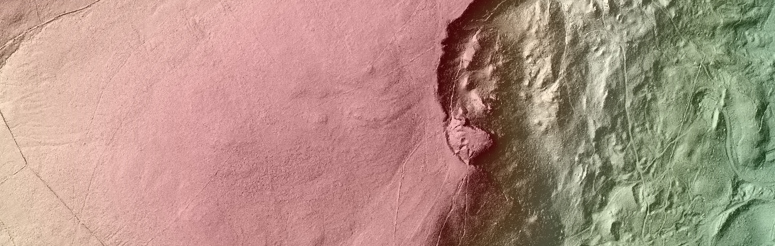
The Centre for GIS and Geomatics within the School of Natural and Built Environment specializes in teaching and research related to the science of geographical information (GIS). Geography is everywhere! Increasingly data gathered around the world on movements, trade, retail, population, and the environment contain a spatial or location component. Smarter use and analysis of spatial data can have an enriched impact on many disciplines including but not limited to economics, engineering, biological sciences, epidemiology and public health, planning, sociology ….. The Centre for GIS and Geomatics collaborates with a wide variety of university departments and external organizations such as local government departments, local councils, emergency services, museums… to enrich research and decision-making through a digital and computer science based form of geographical enquiry.
Within the science of GIS, web mapping has developed within the last few years to become an important tool in presentation, learning and marketing. The combined developments within both geographical information science and computer science methods has provided a powerful platform to elevate data, analysis and outputs from paper or static images to public and interactive web applications with a focus on the where… with high capacities for integrating linked content on what, when, why, and who.
The Centre for GIS and Geomatics has integrated web mapping capabilities into research, student learning, student presentation and outreach work which allows for the creation of web apps for group teaching, independent learning, live demonstration, crowd sourcing new information or for future referral. Web mapping applications have been successfully used to lead student group activities for a number of STEM events with local schools. The Centre led a practical workshop recently with St. Patrick’s Academy in Dungannon to promote the benefits of web GIS for learning in geography GCSE topics of population, settlement and migration. The web app is available at: http://go.qub.ac.uk/GCSEPopulationSettlement
The Web Mapping App is interactive and allows a student to explore the data and content spatially and to extract key information that they discover. A student can explore their own locality, school area, country or continent and make observations as to how patterns of population, settlement and migration differs spatially and geographically.
For this web mapping application data has been provided by ESRI and Northern Ireland Statistics and Research Agency NISRA.
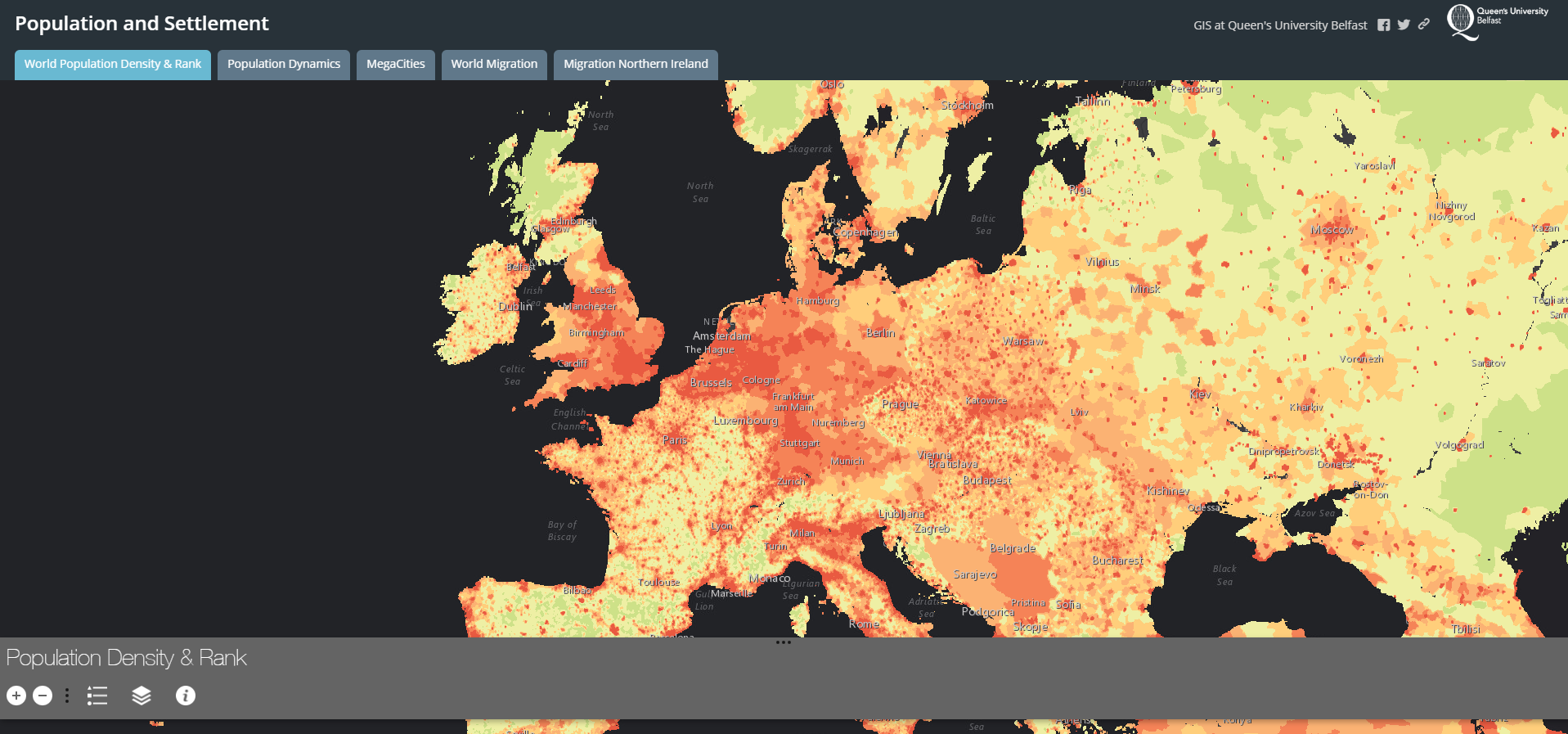
Population and Settlement Learning Web Map
This development and creation of new learning platforms within the Centre for GIS and Geomatics has been promoted through the latest Reflections newsletter from Queen’s University Belfast and published by the Centre for Educational Development. The newsletter focuses on new approaches to teaching and learning and promotes new initiatives within Queen’s. The June 2017 edition is available to access here.
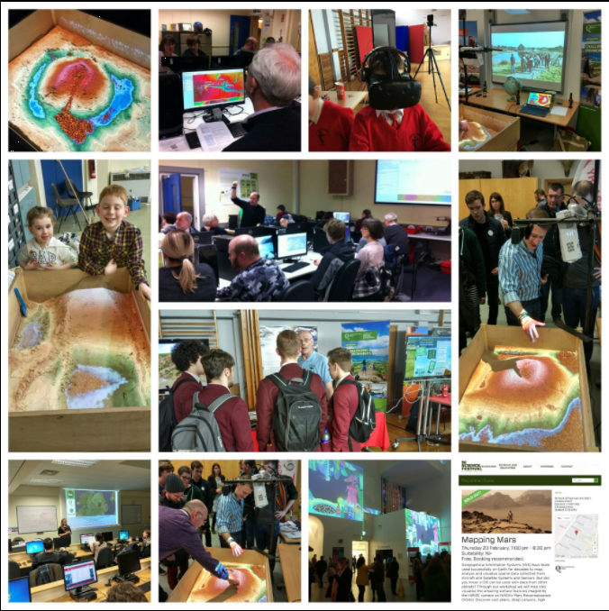
GIS Outreach workshops 2017
The outreach work also extends to customized GIS workshops such as those hosted by the Centre for GIS and Geomatics for the Northern Ireland Science Festival in 2016 and 2017. Members of the public have the opportunity to map, analyze, create web apps and learn more about spatial science. Here is a web mapping application created for the 2017 Science Festival on the Geography of Food and Drink in Northern Ireland.
Further information and web mapping showcases from the Centre for GIS and Geomatics can be viewed at http://go.qub.ac.uk/gismaps