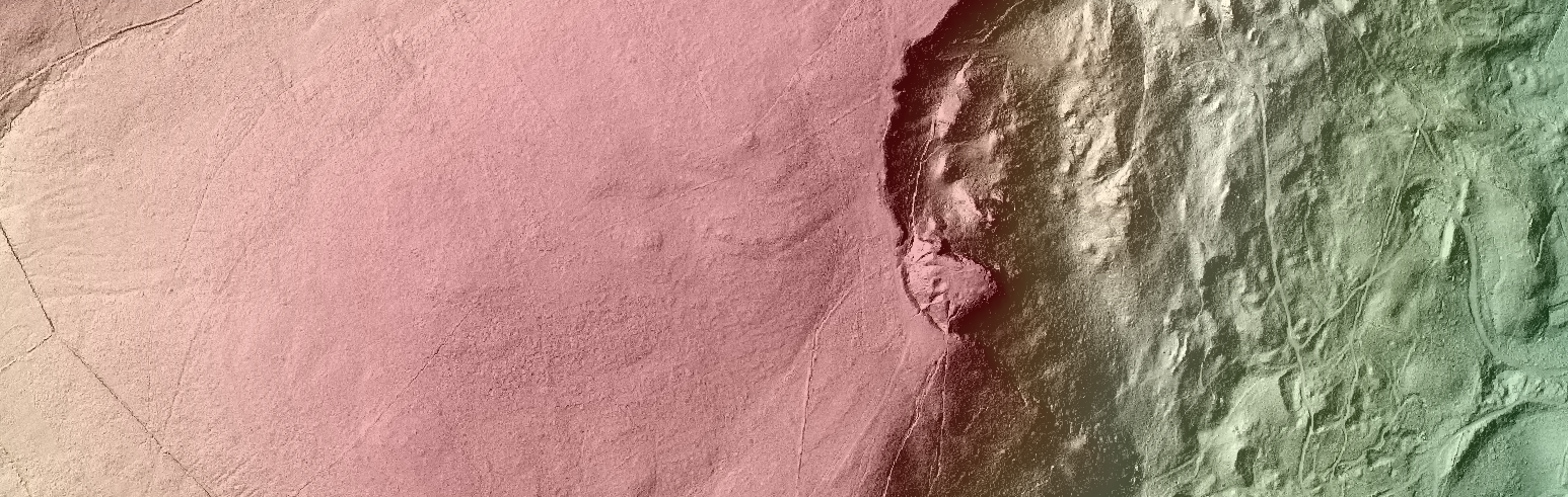
Our friends at OpenDataNI have been busy securing some fantastic spatial data sets for public use. in particular LiDAR surface elevation data collected by various NI Government Departments over the last 12 years. I’ve covered LiDAR technology in a previous post showing how it…
Web Mapping and Spatial Visualization for Teaching, Learning, Presentation and Outreach
The Centre for GIS and Geomatics within the School of Natural and Built Environment specializes in teaching and research related to the science of geographical information (GIS). Geography is everywhere! Increasingly data gathered around the world on movements, trade, retail,…
Ireland’s Surveying Heritage – past, present and future.
Beginning a series of guest posts by colleagues utilising Geographical Information Science at GAP, Professor Keith Lilley writes on the often overlooked but internationally important survey heritage of the Island of Ireland. Ireland was the first country in the world to be fully surveyed…
Newly Updated GIS Research Unit Website
Please visit our new website! http://go.qub.ac.uk/qubgis