RTK GNSS? How Does That Work? For years land surveyors and geospatial professionals have been using a very accurate global coordinate positioning technique called Real Time Kinematic or RTK. RTK uses two or more GNSS receivers. GNSS is a modern…
Web Mapping and Spatial Visualization for Teaching, Learning, Presentation and Outreach
The Centre for GIS and Geomatics within the School of Natural and Built Environment specializes in teaching and research related to the science of geographical information (GIS). Geography is everywhere! Increasingly data gathered around the world on movements, trade, retail,…
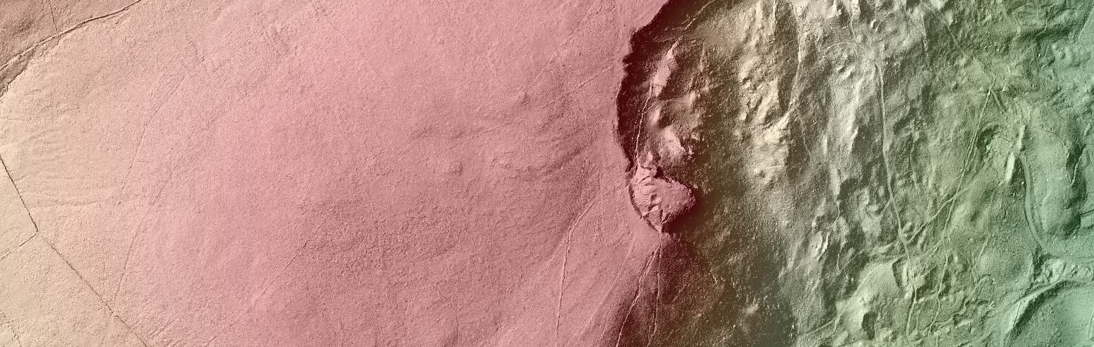
Open Data and 3D Visualisation

Lorraine Barry, Geographical Information Scientist from the GIS Research and Teaching Unit at GAP comments on 3D local visualisation based on open source methods and open spatial data. Traditionally within a geographical information software system (GIS) modelling spatial features in 3D…