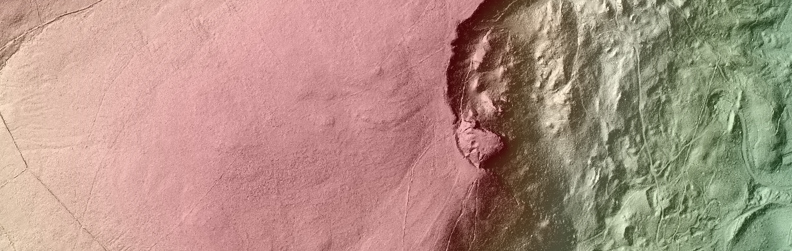
Our friends at OpenDataNI have been busy securing some fantastic spatial data sets for public use. in particular LiDAR surface elevation data collected by various NI Government Departments over the last 12 years. I’ve covered LiDAR technology in a previous post showing how it…
Centre for GIS and Geomatics, Queen's University Belfast.
All things Spatial at The School of Natural and Built Environment