Maps and Atlases in Special Collections: An Overview
About the Collections
Special Collections holds 3 core map collections.
Ewart Map Collection

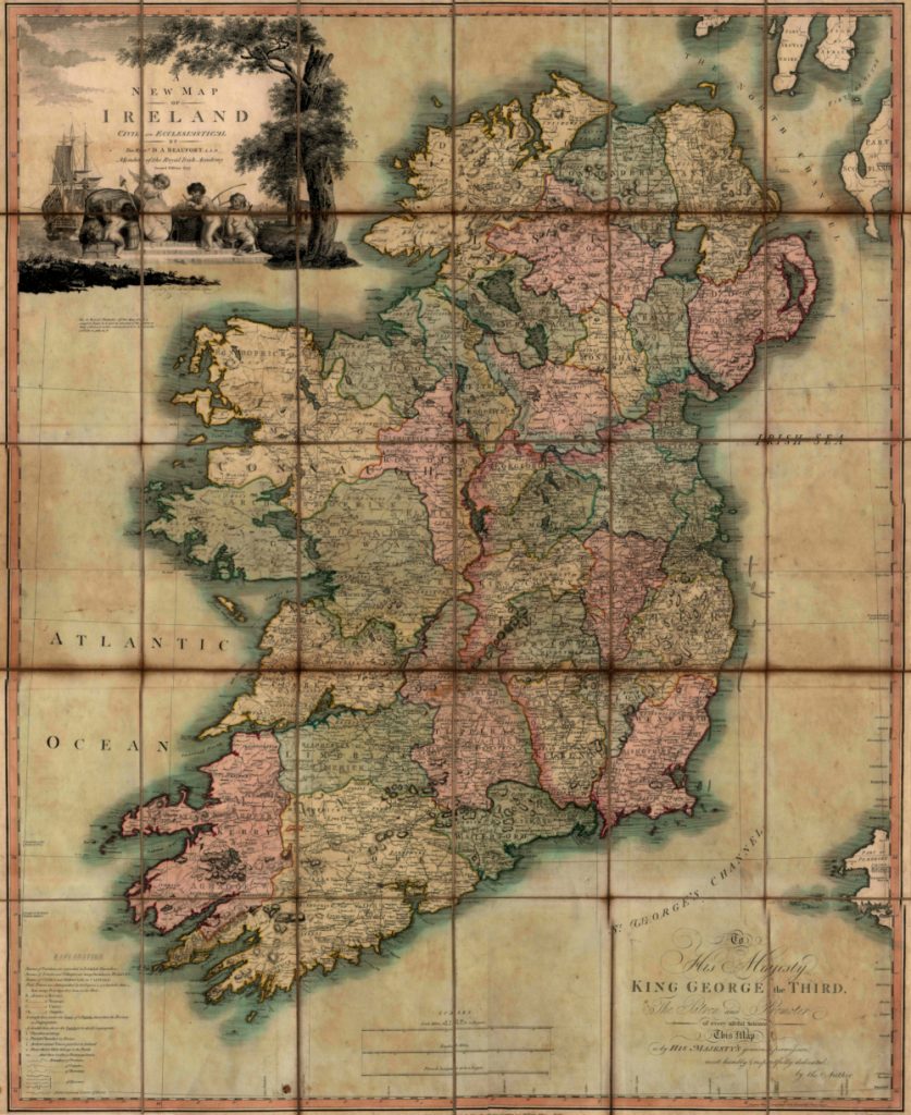
The Ewart Map Collection, ca 1567-1896, houses an assortment of 168 maps in 4 categories: 44 maps of Ireland; 36 provincial and county maps within Ireland; 19 individual place maps within Ireland; and 68 maps and plans of Belfast. It includes contributions from Daniel Augustus Beaufort (pictured above), Frederik de Wit, William Petty, and Willem Blaeu in addition to notable cartographers such as Gerardus Mercator.
Hibernia Regnum
The Hibernia Regnum Map Collection is comprised of 289 facsimiles of the Down Survey of the Baronies of Ireland, 1655- 1659. It includes 141 maps of the Ulster and Munster Provinces and 148 maps of the Leinster and Connaught Provinces.
Maps of the Escheated Counties of Ireland

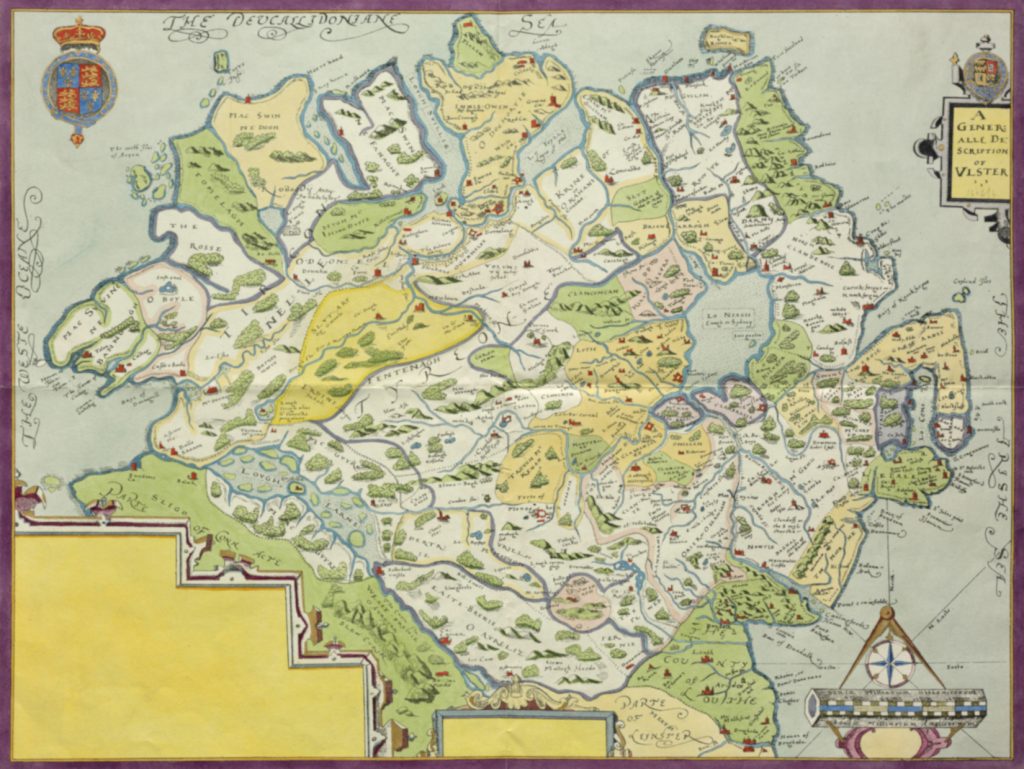
This collection contains 3 of Richard Bartlett’s final maps of Ulster in addition to 28 Northern Ireland maps surveyed at the direction of Sir Josias Bodley in 1609.
These maps are also printed in a single bound volume which is available for consultation in the Special Collections & Archives Reading Room. Please see our catalogue for details. This atlas has been digitised and is now available as an online resource on Digital Special Collections & Archives.
Other Maps and Atlases
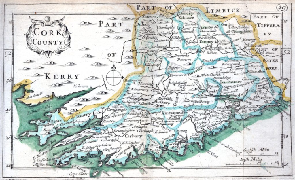
Special Collections hold other significant maps and atlases including Petty’s Maps of Ireland, the Irish Historic Town Atlas series, the Old Ordnance Survey Maps series, and the Atlas geofráfico de España, a historically significant atlas taken during the Peninsular war.

What’s available?
- Full listings of the 3 core map collections are available from this webpage.
- A selection of Ireland maps from the Ewart Map Collection have been made available via Digital Special Collections & Archives, and may be accessed here.
- The atlas, Maps of the Escheated Counties of Ireland, 1609 has been digitised and is now available here. An accompanying blog is also available.
- The Atlas geofráfico de España is available online.
- All of our other maps and atlases are searchable via our catalogue.
- A subject guide, which explores the maps and atlases held by Special Collections in more detail, available here.
New Resource – An Infographic Guide
A new resource has been made available; an infographic summarising our holdings and signposting to additional information and resources. This is available here.
McClay Library Display
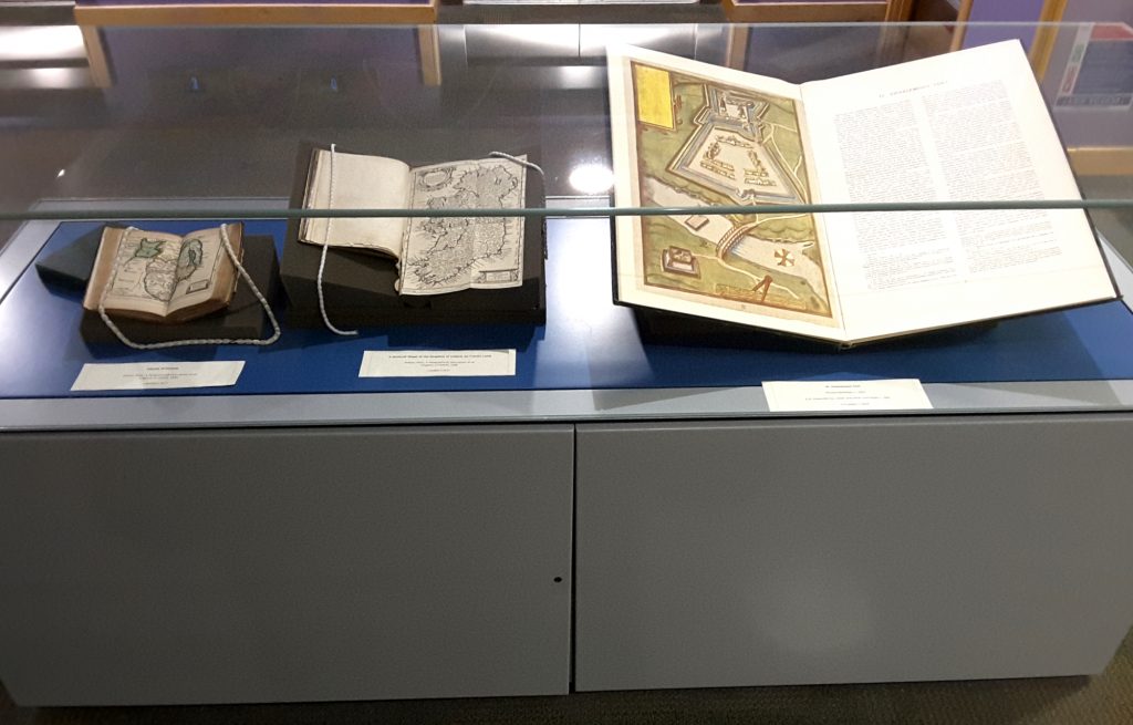
An exhibit featuring Special Collections’ map and atlas holdings (photographed below) was installed in floor 1 of the McClay Library on the 15th May 2019.

Accessing our Collections
All of our maps and atlases are available for consultation in the Special Collections Reading Room. Learn more about visiting here, or contact us via email at: specialcollections@qub.ac.uk

