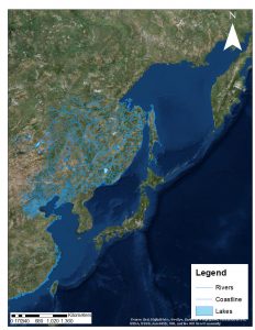
Sino-Russian Border Project
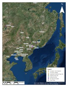
Historical maps of infrastructure and trade in Manchuria, c. 1910
Infrastructure and trade in Manchuria, c. 1910 (large legend)
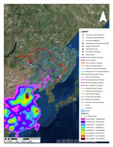
Infrastructure and trade in Manchuria, c. 1910 (small legend)
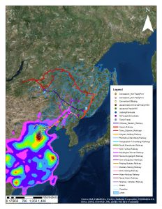
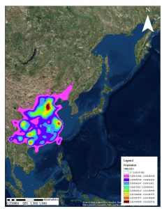
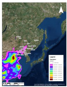
Population map with trading centres
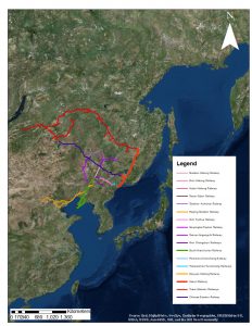
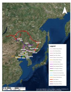
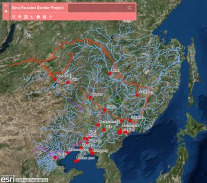
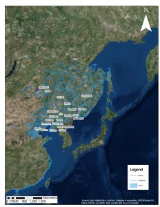
Waterways with trading centres
Interactive map layers (ArcGIS) (password required)
In conjunction with the Faculty of Asian and African Studies, St Petersburg State University.
People: Aglaia De Angeli, Emma Reisz, Alex Titov, Will Megarry, Nikolay Samoylov, Jordana Maguire
Funded by a FRIF grant.
