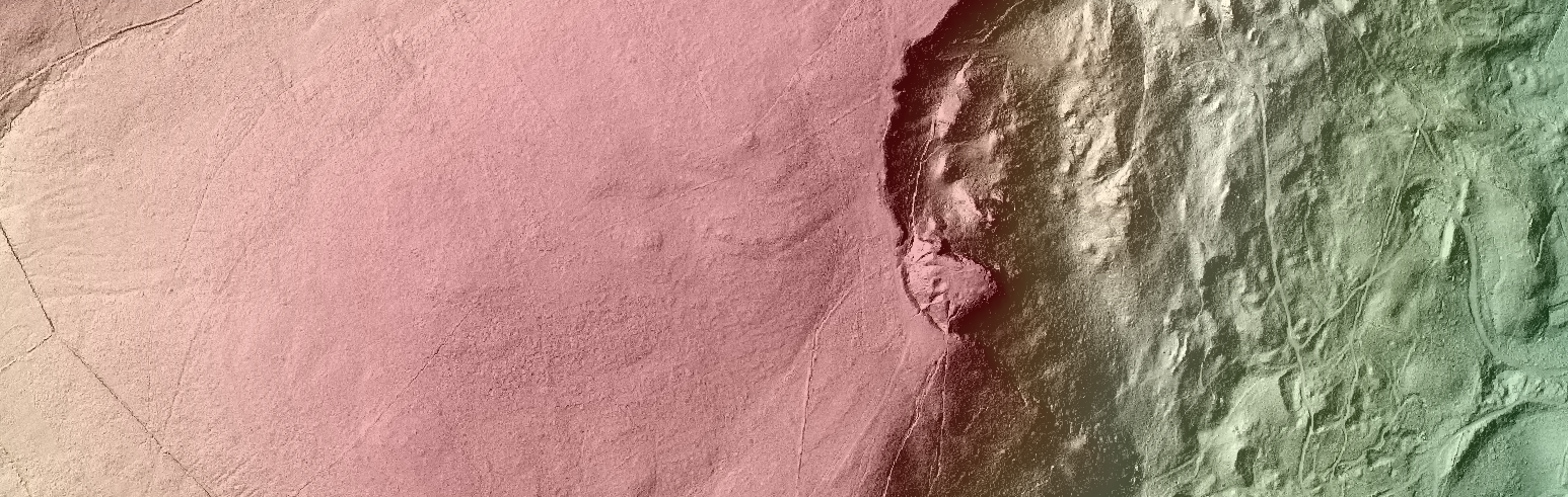
Lorraine Barry, Geographical Information Scientist from the GIS Research and Teaching Unit at GAP comments on 3D local visualisation based on open source methods and open spatial data. Traditionally within a geographical information software system (GIS) modelling spatial features in 3D…
Open Data and 3D Visualisation
