-

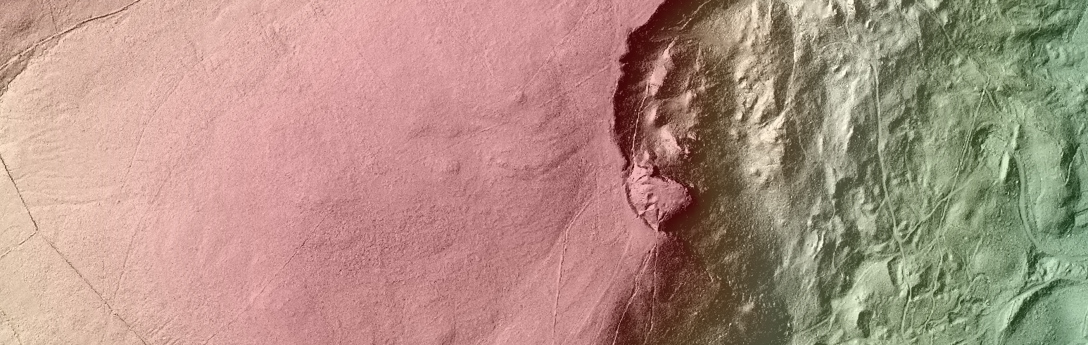
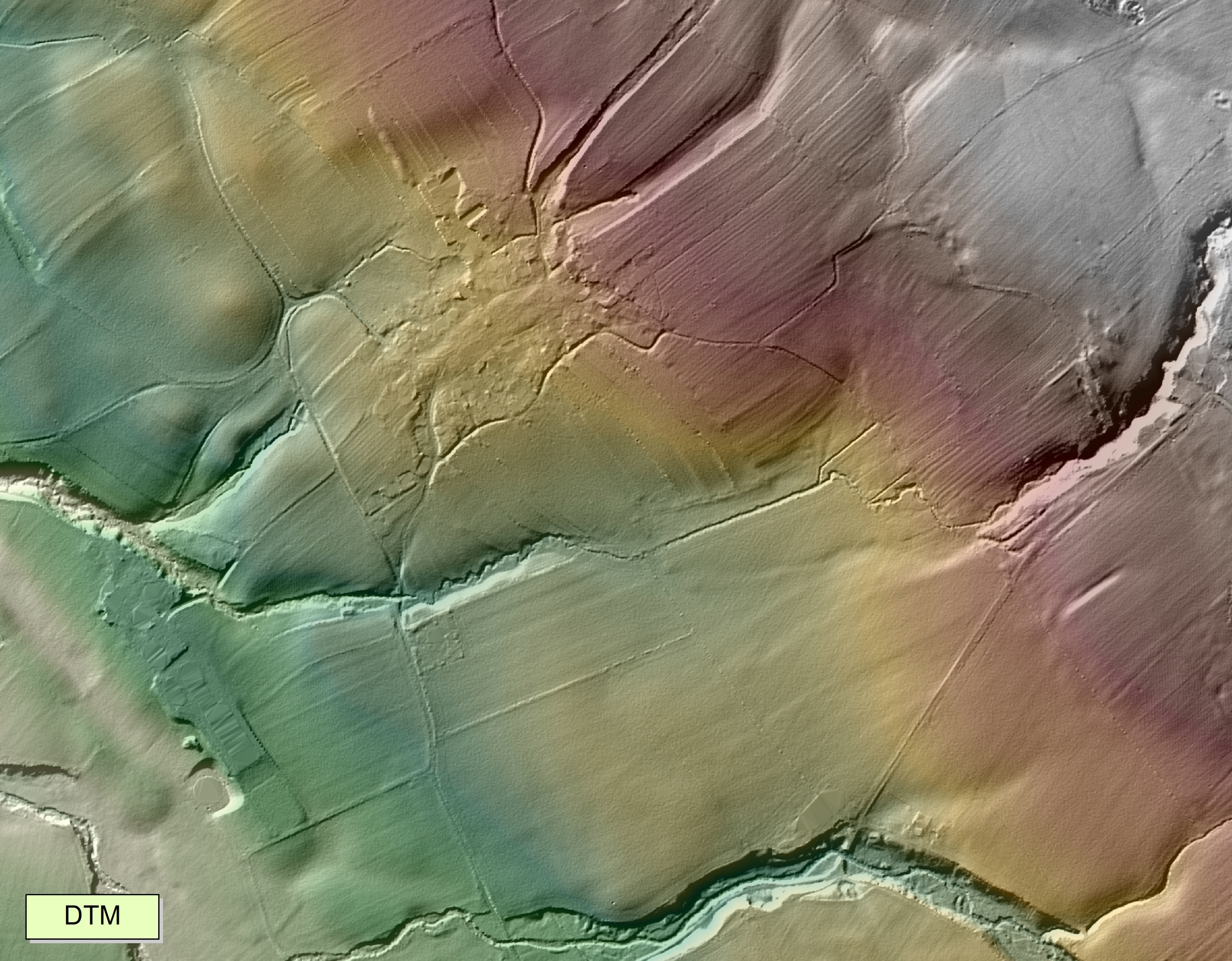
Digital Terrain Model from LiDAR
Welcome to the GIS@GAP Blog!
The GIS Research Unit at GAP specialises in research, teaching and support in the diverse area of Geographic Information Science (GI) and Geomatics. At the core of GIS at GAP is a dedicated state of the art GIS Lab hosting related GI and Geostatistical software (Commercial and Open Source), Spatial Data Web Services, Spatial Data Servers (Research and Ordnance Survey Northern Ireland licensed data), Geomatic and Geodetic Survey Instruments (GPS, GNSS, CORS, EDM) and our very own research UAV. GI is taught at GAP UG/PGt level and has become an essential element of many staff and postgraduate research programmes.
The Unit is involved in many collaborative research projects across the University and has become to many the first port of call to users accessing GIS for the first time or to those seeking GI related advice and research development.
With strong professional network links to outside public agencies, NGOs and the GI community (LPS/OSNI. NIEA, GSNI, AGI…) we aim to develop, promote and educate researchers and the public on the important role of Spatial Science and Data in research, education and the local economy.
Through this blog we hope to keep you updated with our research, education and interests at the Unit. Check back for updates on projects, research and web mapping outputs from the GIS Unit at Queen’s University Belfast!
CG/LB/JMK